
Vegetation intelligence for electricity networks
GeoclearAI gives electricity networks a clear spatial view of vegetation exposure, helping teams focus inspection and maintenance where it matters most.
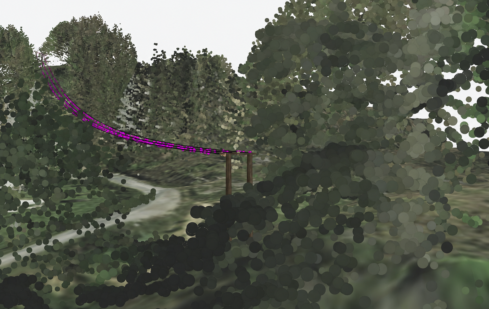
The problem
Vegetation near overhead electricity lines can contribute to outages, with exposure increasing during storms and high-wind events.
-
Inspections are hard to keep current
Manual inspections are time-consuming, and conditions can change significantly between visits.
-
Data is fragmented
Vegetation data is often spread across surveys, formats and providers, making it hard to build a consistent network-wide picture.
-
Analysis is difficult to scale
Traditional approaches can be difficult to apply across an entire network, particularly for smaller networks with limited resourcing.
The solution
GeoclearAI turns complex spatial information into a clear, prioritised view of vegetation risk across the overhead network.
How it works
-
Understand network exposure
See where vegetation exposure is concentrated across the overhead network.
-
Inspect risk in spatial context
Explore priority locations within a clear and interactive network view.
-
Prioritise action
Focus engineering review, inspection and maintenance on the locations that matter most.
Why it matters
- Better vegetation-risk visibility across the overhead network
- More informed inspection and maintenance planning
- Improved prioritisation of where to act first
- Support for network reliability
- A clearer foundation for evidence-led planning
GeoclearAI is being developed in New Zealand for electricity distribution networks. The goal is practical vegetation-risk visibility that supports informed inspection, maintenance and reliability decisions.
Start a conversation
Interested in clearer vegetation-risk visibility across your network? Get in touch to discuss your priorities and learn more about GeoclearAI.